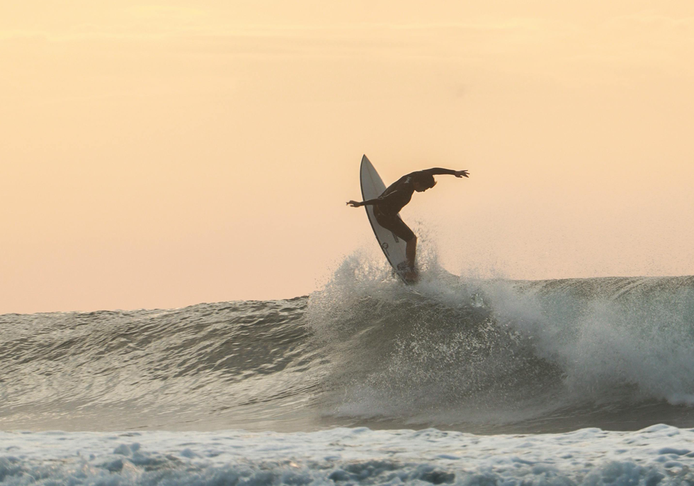
How to read weather maps. Have you ever stared out at the ocean, wondering what secrets it holds? Is it a gentle giant, ready to cradle you in its waves, or a ferocious beast, eager to test your limits? The answer often lies in the sky above, in the intricate dance of weather patterns. By learning to read weather maps, you can unlock the ocean’s secrets and ride its waves with confidence.
The Weather’s Impact on Waves
To truly appreciate the connection between weather and waves, we must first understand the fundamental forces at play.
- Wind: Wind is the primary driver of wave formation. As wind blows across the ocean’s surface, it transfers energy to the water, creating ripples that gradually grow into waves. The strength and duration of the wind, as well as the fetch (the distance over which the wind blows), determine the size and power of the waves.
- Swell: Swell refers to the rhythmic pattern of waves generated by distant storms. These waves travel long distances, often across entire oceans, before reaching our shores. Swell size, period, and direction are crucial factors in determining surf quality.
- Tides: Tides, caused by the gravitational pull of the moon and sun, influence the height and shape of waves. High tide can create larger, more powerful waves, while low tide can expose shallow reefs and sandbars, affecting wave breaking patterns.
How to Read Weather Maps: A Surfer’s Primer
Weather maps are like a secret code, revealing the ocean’s intentions. Let’s break down the key elements:
- Pressure Systems:
-
- High-Pressure Systems: These are associated with calm, stable weather conditions. They typically bring clear skies, light winds, and small waves.
- Low-Pressure Systems: These are associated with stormy weather. They often generate strong winds and large swells, creating ideal surfing conditions, especially when the winds are offshore.
- Fronts:
-
- Cold Fronts: These bring rapid changes in weather, often with strong winds and heavy rain. They can generate powerful waves, but can also make conditions hazardous.
- Warm Fronts: These typically bring milder weather, often with light rain or drizzle. They can produce gentle swells, suitable for beginners.
- Wind Direction and Speed:
-
- Offshore Winds: These winds blow from land to sea, creating clean, well-shaped waves. They are the ideal wind condition for surfing.
- Onshore Winds: These winds blow from sea to land, creating choppy, disorganized waves. They can make surfing difficult, especially for beginners.
- Swell Direction and Period:
-
- Swell Direction: This indicates the direction from which the swell is coming. It’s essential to know the optimal swell direction for your local surf spot.
- Swell Period: This measures the time between successive wave crests. A longer period generally indicates higher-quality waves.
Advanced Tips for Weather Map Reading
To become a true weather map wizard, consider these advanced tips:
- Utilize Online Surf Forecasting Tools: Websites like Surfline, Magicseaweed, and Windy provide detailed forecasts, including wave height, period, direction, wind speed, and tide information.
- Study Local Weather Patterns: Familiarize yourself with the unique weather patterns in your area. Pay attention to seasonal trends, storm systems, and local wind influences.
- Consider the Local Geography: The shape of the coastline, the presence of reefs and sandbars, and the depth of the water can all affect wave quality.
- Check Real-Time Wave Reports: Use live webcams and social media to get real-time updates on wave conditions.
- Embrace the Element of Surprise: While weather maps can provide valuable insights, remember that the ocean is a dynamic and unpredictable force. Be prepared to adapt to changing conditions and embrace the unexpected.
By understanding the intricate relationship between weather and waves, you can enhance your surfing experience and make the most of every session. So, next time you’re gazing out at the ocean, remember to look up at the sky. The weather map holds the key to your next epic surf adventure.
